UN
42 Corn Park
£ 237,000
Description
We don't have a Description for this property.
- Bedrooms
- 3
- Bathrooms
- 0
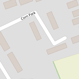
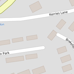
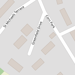
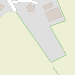
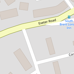
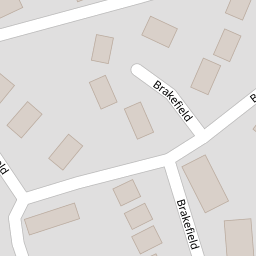


Leaflet © OpenStreetMap contributors
The heatmap indicates the level of crime in the area. The color of the heatmap indicates the crime severity and recency.
Metrics Year-on-Year
- Average area value
- 275,043.00 £Decreased by 5.93 %
- Average area rental value
- 1,007.00 £/moIncreased by 20.31 %
- Est rental Yield
- 4.39 %Increased by 27.62 %
- Crime Rate
- 73.00 %Unchanged by 0.00 %
from 292,391.00 £
from 837.00 £/mo
from 3.44 %
from 73.00 %
Nearby Schools
| Name | Type | Ofsted | Distance |
|---|---|---|---|
| South Brent Primary School | Academy Converter | Good | 0.48 KM |
| Ugborough Primary School | Academy Converter | 5.10 KM | |
| Diptford Parochial Church Of England Primary School | Academy Converter | Good | 5.25 KM |
| Colours Academy | Other Independent School | 7.04 KM | |
| Buckfastleigh Primary School | Academy Converter | Requires improvement | 8.69 KM |
Images
Nearby Streets
| Name | Average Price | Average Sqft | Distance |
|---|---|---|---|
| Avondale Walk | £ 335,000 | 0 | 0.00 KM |
| Crowder Meadow | £ 0 | 0 | 0.00 KM |
| Lydia Bridge | £ 0 | 0 | 0.00 KM |
| Lydia Cottages | £ 0 | 0 | 0.00 KM |
| Garfield Terrace | £ 0 | 0 | 0.00 KM |
Nearby Transport
| Name | NLC | TLC | Distance |
|---|---|---|---|
| Ivybridge | 3555 | IVY | 8.64 KM |
Nearby Listings
| Address | Price | Type | Score | Distance |
|---|---|---|---|---|
| Greenfield Drive, South Brent, Devon, TQ10 | £ 675,000 | BUY | Unknown | 0.11 KM |
| St. Michaels Terrace, South Brent | £ 315,000 | BUY | 6 / 10 | 0.12 KM |
| Brakefield, South Brent | £ 400,000 | BUY | 6 / 10 | 0.16 KM |
| Brakefield, South Brent | £ 415,000 | BUY | 7 / 10 | 0.22 KM |
| Plymouth Road, South Brent | £ 290,000 | BUY | 7 / 10 | 0.23 KM |
Nearby Properties
| Address | Price | Distance |
|---|---|---|
| 19 Corn Park | £ 216,950 | 0.00 KM |
| 31 Corn Park | £ 243,500 | 0.00 KM |
| 39 Corn Park | £ 290,000 | 0.00 KM |
| 40 Corn Park | £ 162,300 | 0.00 KM |
| 42 Corn Park | £ 237,000 | 0.00 KM |